Location and map
Directions from Melbourne, parking, and a map to help you find us.
How to find us
Route overview and directions from Melbourne:
- Leave the Melbourne CBD. Head south on Bourke Street and use the Princes Highway / State Route 60 to merge onto the CityLink / M1 in Southbank.
- Take EastLink and Peninsula Link. Follow the M1, then move onto EastLink / M3 heading south. Continue onto the Mornington Peninsula Freeway / Peninsula Link (M11).
- Exit at Moorooduc. Take Exit 18 from the Peninsula Link (M11) towards Moorooduc.
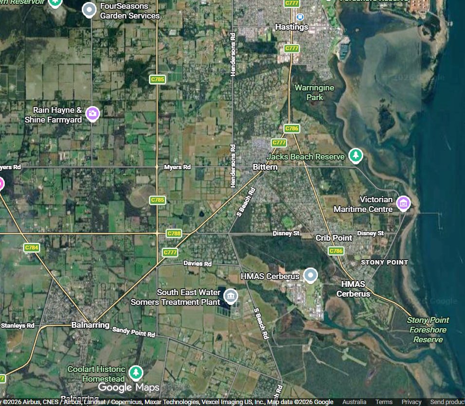
- Local roads to Crib Point. Follow Mornington-Tyabb Road (C782) heading east. Turn right onto the Frankston-Flinders Road (C777), then follow local signage via Disney Road to reach The Esplanade in Crib Point.
Map
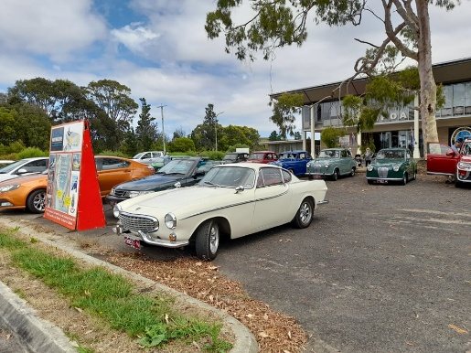
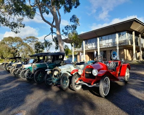
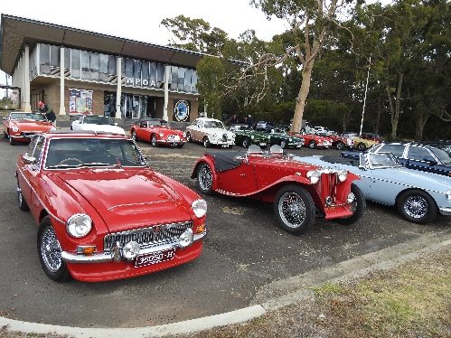
Plenty of parking
We have a large car park at the front of the centre, with room for cars, bike clubs and buses.